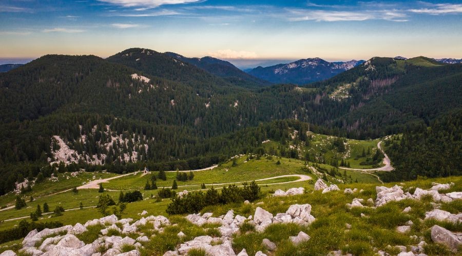
Ain’t no mountain long enough… that is, until you meet Velebit mountain range. A region with magnificent karst formations, wildlife, caves, flora & fauna, and trails for hikers, Velebit should not be looked over on your next sailing holiday.
The longest mountain in Croatia at 145 kilometers and the fourth tallest mountain is one of the country’s most grandeur attractions. A part of the Dinaric mountain range, Velebit expands along the Velebit Channel, part of the Adriatic, above the coastal town of Senj in the northwest and with the Zrmanja river canyon set to the southeast. Velebit is a natural wonderland enveloped by fields and rivers, with part of it protected as a nature park and other parts as national parks.
But what you'll be most familiar with is Northern Velebit National Park, the youngest national park in the country, only recognized in 1999. Covering an area of 109 square kilometers, this area acts as a barrier between central Croatia and the coast. Namely, this national park separates two ecologically diverse worlds where staggering heights meet the stunning coast. Composed of protected areas, reserves, endemic plant and animal species, and botanical gardens, Northern Velebit National Park is home to many healthy and balanced ecosystems. It is a dream for nature enthusiasts looking for a high-altitude outdoor activity where clean air is king.
History
So, how did it all come to life?
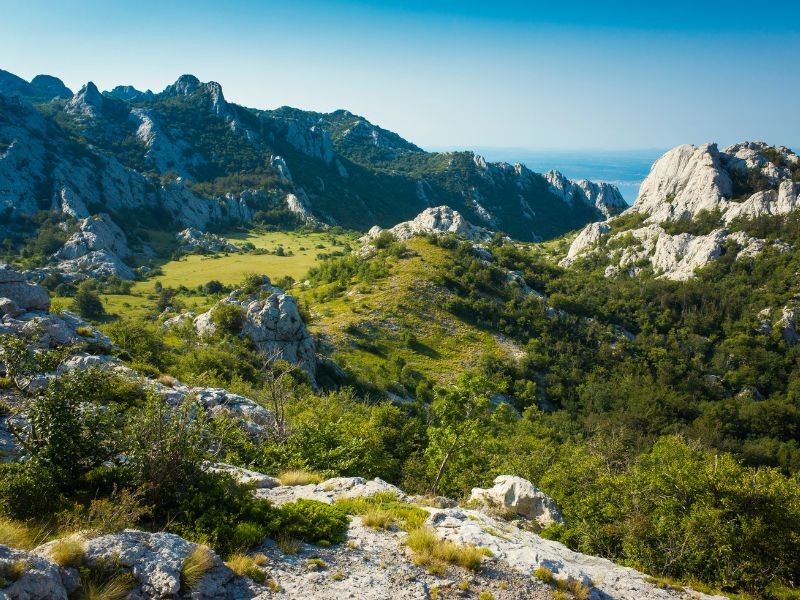
Ancient writers called Velebit ‘Albion oros’ and ‘Albanon oros’ in Greek, or Mons Albius in Latin, which speak to the mountain’s characteristics, from snow on its peaks to the first sailors and travelers noticing Velebit’s white rocks from the sea.
While Velebit is often considered a barrier and border that separates two parts of Croatia, historically, the reality is much different. Instead, it was a space connecting the people who lived on its coastal and inland sides. Prehistoric settlements on both sides of the mountain confirm this.
Inhabitants of the Velebit coast, or Podgorje, were directed to this mountain area when there wasn’t snow. However, during late autumn and early winter, they gradually descended towards their settlements by the sea, carrying supplies of hay and food. Once the snow cleared, they returned to the mountains carrying whatever they could from Podgorje. Residents from the continental side of Velebit did the same.
The Lika hinterland of Velebit offered more arable areas, pastures, and water. Therefore, the life of the inhabitants in all areas, from the coast to the mountains and hinterland, was only possible with mutual exchanges of goods and cooperation. Thus, this mountain did not separate them but connected them.
Visitors can see numerous traces left by those who lived here in the expanses of the Northern Velebit National Park today. The ruins of shepherd’s dwellings remind us of long-forgotten times when they inhabited Velebit. On the coastal areas of Velebit are ruins of houses, stables, and dry stone walls as evidence of the Croatian regiment in these parts.
In addition to its historical traces, Velebit mountain is also known for its biosphere reserves. It was included in the network of world biosphere reserves as part of the UNESCO project “Man and Biosphere” in 1978. Three years later, the entire Velebit was protected as a nature park, and almost two decades later, Northern Velebit became the youngest of the eight national parks in Croatia in 1999.
Activities
And once you visit Northern Velebit National Park, what should you see?
For starters, the Zavižan mountain peak (1676 meters) is located within the park and is one of the tallest peaks in Croatia. At the top of the mountain is not only the highest meteorological station in Croatia but also the highest permanently inhabited point in Croatia and one of the coldest parts of the country. This meteorological station started operating on May 1, 1953.
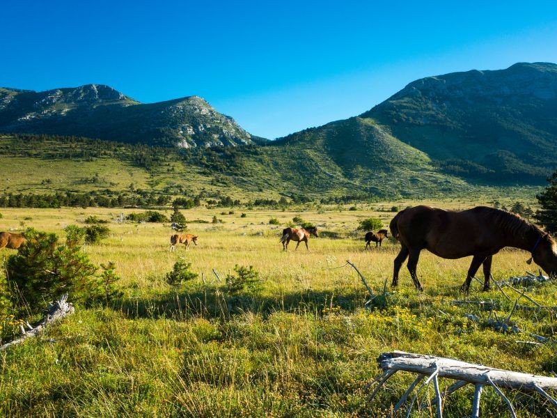
Near Zavižan is a mountain lodge of the same name and the Zavižan-Balinovac-Velika Kosa botanical reserve, founded by Croatian botanist Fran Kušan in 1967. This is a great starting point for horseback riding and a severe challenge to the most experienced mountain bikers and hikers.
And speaking of hikers, check out the Premužić trail, a 57 kilometers path that got its name from forester Ante Premužić, who constructed the course in late 1933. The trail passes by some of the most exciting and beautiful parts of the national park, like Rožanski kukovi and the strictly protected Hajdučki kukovi reserve, with breathtaking views of Croatia’s interior, the Adriatic Sea and the islands, including Pag, Rab, Goli otok, Prvić, and Krk. The national park also boasts numerous other hiking trails and roads of interest.
And we can’t forget to mention its flora & fauna.
Northern Velebit National Park’s excellent geographical location means it can develop plants with continental, coastal, and mountain climates. This has resulted in numerous endemic species, and today, Velebit is counted among the four endemic centers of Croatia. More than 950 plant species and subspecies have been recorded within the Northern Velebit National Park.
Furthermore, over 80% of this national park is covered with forest. Within the park's boundaries, you can find many forest types, like white hornbeam, honey oak, black hornbeam, beech, black pine, pine, fir, and spruce. Interestingly, this park also boasts a rich but poorly explored mushroom world with many protected types.
Northern Velebit National Park has five basic habitats - forest, grassland, rocky, underground, and water habitats. Thus, the area abounds with diverse animal species, many of which are endemic and live only in this area. Of the vertebrates, six species of amphibians, 16 species of reptiles, more than 100 species of birds, and more than 40 species of mammals have been recorded.
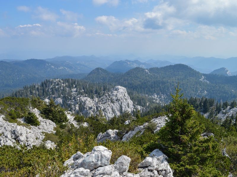
And then there are the most rugged parts of Velebit - Hajdučki kukovi and Rožanski kukovi.
Hajdučki kukovi are part of the peaks on the north side of Velebit. Together with Rožanski kukovi, it covers an area of approximately 22 square kilometers, which was declared a nature reserve in 1969. The two areas are separated from each other by the Lubenovac Gate.
In addition to approximately 40 peaks, mostly above 1600 meters, the area around Hajdučki kukovi contains a complex system of natural underground drainage. This terrain is much more inaccessible than in the vicinity of Rožanski kukovi, and there are still parts where no human has set foot to this day. The most famous and most visited peaks in this area are Jarekovački kuk (1328 meters), Pavića kuk (1392 meters), Begovački kuk (1407 meters), Duića kuk (1460 meters), and Golubić (1658 meters).
Luka's cave (or Lukina jama) is also located here, known as the deepest mountain cave in Croatia and one of the deepest in Southeast Europe, with a depth of 1392 meters. This cave was discovered in 1992 by local patriot Ozren Lukić - Luka, a volunteer of the Homeland War and a member of the mountain division of the Croatian Army. Unfortunately, Ozren Lukić - Luka was killed in 1992 by a Serbian sniper's bullet, so today, the cave bears his name.
And then there is Rožanski kukovi. The first peak, Gromovača (1675m), is located approximately two and a half hours' walk from Zavižan and is the most visible viewpoint in this area. The center of the rocks starts right behind the mountain shelter Rossijevo sklonište (or Rossi’s hut). The most attractive part of this rocky region is the road that leads from this mountain shelter to the village of Crikvena (1641m), approximately a 30-minute walk from the mountain lodge. Also, look for Varnjača and Pasarić kuk (1630 meters), Crikvena kuk (1641 meters), Vratarski kuk (1678 meters), and Krajačeva kuk (1690 meters).
In an area of approximately 18 square kilometers, there are more than fifty stone peaks, all over 1600 meters high, some in bizarre shapes. Here, the phenomena of karst rock and chasms, dizzying heights, caves, natural openings, and straits within Velebit are intertwined. Rožanski kukovi are larger and more passable than Hajdučki, so hiking and finding your way around will be easier. However, if you like challenges and adore less explored areas, explore Hajdučki.
Best time to visit
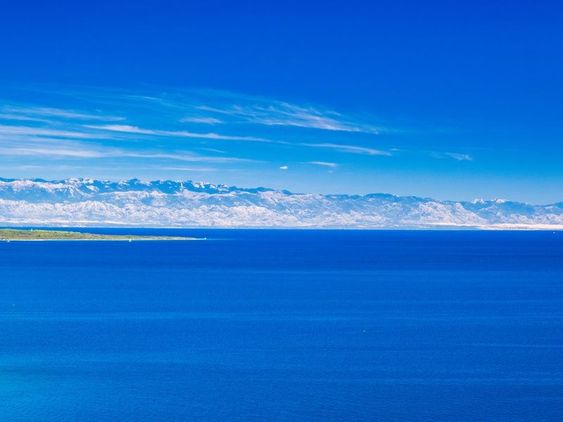
Northern Velebit National Park is open from May to October, or the end of November, which makes sense, given the snowy conditions in winter would ward away even the bravest mountaineer. The park’s opening times largely depend on this factor, so it’s always wise to check the weather conditions and call the park before visiting.
We’d like to argue that the park is most beautiful in the spring when the mountain begins to bloom and the snow has started to clear. However, those taking summer sailing trips will find June, July, and August to be rather pleasant, with highs around 22 degrees Celsius.
How to get there
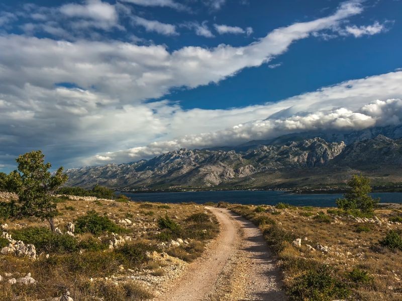
Northern Velebit National Park looks out onto the Kvarner gulf, so it’s not hard to detour inland on your sailing trips around Pag, Krk, Cres, or even Rijeka.
When the park is accessed from the coast, you’ll use the Jablanac road, though its narrowness may turn some off. By taking this road, you’ll enter the park from the Alan mountain hut, dominated by vast meadows, hollows, and valleys. Veliki Alan is located 1414 meters above sea level and is considered one of the essential passes within Northern Velebit National Park, as the transverse Velebit road that connects Lika with the sea passes through it.
A dream for anyone who thrives in the outdoors, make room for Northern Velebit National Park on your next sailing holiday.
Contact us and let us create the most perfect sailing holiday for you!
